For general reference, here is a map of the U.S./Canadian Flathead Valley and the surrounding area.
This is a section of a much larger topographic map available on the Atlas of Canada web site -- specifically, the Kootenai Lake sheet. The area to the east is covered by the Lethbridge sheet.
Thanks to James Conner for pointing out these maps to us.
Posted by nfpa at May 29, 2004 06:37 PM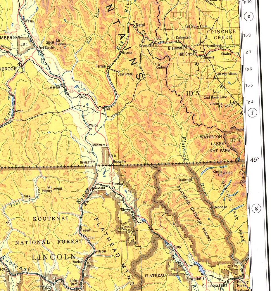