Here’s an interesting article about using satellites to monitor and record the spread of pine beetle infestation . . .
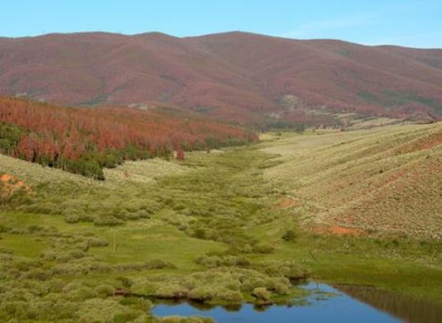
In western North America, mountain pine beetles infest and ravage thousands of acres of forest lands. Landsat satellites bear witness to the onslaught in a way that neither humans nor most other satellites can.
Since 1972, the U.S. Geological Survey’s Landsat satellites have been the watchman that never sleeps with spectral bands capturing the subtle turning of green mountainsides into dying forests. From the ground, the extent of forest land damage is simply too large for field observers to quantify. But 438 miles above the Earth, Landsat satellites pass over every forest in the country dozens of times a year — every year — creating a historical archive of clear, composite images that tells the hidden stories of life and death in our nation’s forests.
Such was the vision of Secretary of the Interior Stewart Udall 50 years ago when he boldly called for Earth observations from space. What the U.S. Geological Survey has accumulated now are vast and continuous long-term records from Landsat that have become critical tools for agencies such as the U.S. Forest Service (Forest Service), which reports the status and health of our nation’s forest resources.