Tag Archives: road maintenance

Traffic delays on Graves Creek, Trail Creek roads Sep. 12-14

Travel on Trail Creek Road will be a little more painful the first part of this week.

From the official press release . . .

Travelers on the Graves Creek-Trail Creek Road, Forest Road #114, may encounter delays up to an hour or more on Monday, September 12th through Wednesday September 14th, from 8:00 through 5:00 pm.

A retaining wall, approximately 6 miles west of the North Fork Road and 3 miles east of Tuchuck Campground is being repaired and maintained. Crews and equipment will be working to remove mud and debris from the road and wall to ensure that drainage works properly. Please watch for trucks hauling on this narrow road.

For additional information please contact Flathead National Forest Road Manager, Ron Krueger at 406-387-3838.

North Fork Road improvement project takes another step forward

North Fork Road, March 17, 2016 - W. K. Walker
North Fork Road, March 17, 2016 – W. K. Walker

It’s official now: If everything falls into place, we could see quite a bit of road work in the neighborhood within a couple of years . . .

The Flathead County Commission voted unanimously on March 24 to move forward with a proposed project among the county and federal partners to rehabilitate the North Fork Road.

The project, part of the Montana Federal Lands Access Program (FLAP), seeks to make improvements to the road, which serves as an access point for about 300 residents and thousands of recreationists each year.

FLAP was established to improve transportation routes that provide access to, are adjacent to, or located within federal lands. The program supplements state and local resources for public roads and transit systems. The North Fork project is still in the application phase.

Read more . . .

County hopes for big improvements to North Fork Road in 2018

North Fork Road, March 17, 2016 - W. K. Walker
North Fork Road, March 17, 2016 – W. K. Walker

A good summary of the county’s plans for the North Fork Road, if they can get the money . . .

A $1.6 million federal grant proposal to improve the North Fork Road from Polebridge to the Canadian border will likely be submitted by April 4, Flathead National Forest officials said last week.

In a presentation to the county commissioners, forest staff officer Gary Danczyk said that if the grant is awarded, the project likely would not begin until 2018 or 2019.

Officials from the U.S. Border Patrol and Glacier National Park, which are also included in the application, also spoke in support of the grant proposal.

Read more . . .

Reminder: Future of Inside North Fork Road up for public review; deadline is Aug 3

Glacier Park has put the problem of the Inside North Fork Road up for public comment. It’s pretty evident that the park would rather not spend the money necessary to fully repair the damaged sections. So, if you want the road to remain open, take advantage of the public comment period to explain why.

Comments and concerns regarding the project can be submitted online at parkplanning.nps.gov/document.cfm?parkID=61&projectID=59506&documentID=67096. Public comments must be submitted by August 3!

Here’s the official press release on the subject . . .

Glacier National Park is preparing an environmental assessment for the management of the inside North Fork Road and encouraging public comment by August 3. Public comments will help identify issues and alternatives to be considered and evaluated in the planning process.

The inside North Fork Road is located within the park. It is a seasonal gravel road approximately 40 miles in length. It begins near the south end of Lake McDonald continuing to Kintla Lake near the Canadian border. The road was constructed in 1901 and is listed on the National Register of Historic Places.

Currently, the road is open between the Fish Creek Campground and Camas Creek on the south end of the road, and between Polebridge and the Logging Creek Ranger Station on the north end of the road. Hikers and bikers may utilize the entirety of the inside North Fork Road. The middle section of the road is not open to motorized use due to road damage.

Since 2006 annual flooding has caused significant and recurring damage to the inside North Fork Road, particularly near the Anaconda Creek and Logging Creek areas. Another area of the road, near the North Fork of the Flathead River between Quartz Lake and Logging Creek, known as Lover’s Leap, is also an area of concern. The river is beginning to undercut this section of the road due to sloughing of the riverbank. Culvert additions and replacements along much of the road and new road base are needed in several locations.

In response, the park has brought in materials to mend damaged areas over the past several years. These fixes have been short-lived and resulted in deposition of road base and sediment into waterways, raising concern for fisheries and the health of riparian communities. In 2014, the park contracted an engineering firm to analyze options for road repairs at Anaconda and Logging Creeks, and Lover’s Leap. Cost estimates for these three repairs ranged from $682,000 to $735,000.

The park’s general management plan calls for preservation of the area’s wild character, with provision of only rustic visitor facilities. The road provides access to four primitive auto campgrounds and several trailheads. These few developments are surrounded by recommended wilderness.

Bull trout, a federally listed threatened species, and westslope cutthroat trout, a Montana State listed species of concern, utilize riparian habitat on and near the North Fork of the Flathead River, including federally designated critical habitat for bull trout. Road failures near Anaconda Bridge and Logging Creek are causing localized stream habitat degradation, with the potential to adversely impact bull trout critical habitat.

Given the repairs needed, associated costs, and ongoing maintenance requirements and resource concerns, the park is considering the overall future of the inside North Fork Road. An environmental assessment is being prepared for the management of the road. Objectives include developing a sustainable approach for maintenance and repair of the road, improving natural stream function in riparian areas, reducing adverse impacts on fisheries, and continuing to provide recreation opportunities in the North Fork area of the park.

A scoping brochure is available online, and comments and concerns regarding the project should be submitted online at parkplanning.nps.gov/InsideNorthForkRoad. Comments and concerns can also be mailed to Superintendent, Glacier National Park, Attn: inside North Fork Road, PO Box 128, West Glacier, MT 59936. Comments should be submitted by August 3.

Comments encouraged on Inside North Fork Road

As mentioned here earlier, Glacier Park is soliciting public comment on their plans for the Inside North Fork Road. The comment period ends August 3. Here’s the meat of the official press release on the subject . . .

Glacier National Park is preparing an environmental assessment for the management of the inside North Fork Road and encouraging public comment by August 3. Public comments will help identify issues and alternatives to be considered and evaluated in the planning process.

The inside North Fork Road is located within the park. It is a seasonal gravel road approximately 40 miles in length. It begins near the south end of Lake McDonald continuing to Kintla Lake near the Canadian border. The road was constructed in 1901 and is listed on the National Register of Historic Places.

Currently, the road is open between the Fish Creek Campground and Camas Creek on the south end of the road, and between Polebridge and the Logging Creek Ranger Station on the north end of the road. Hikers and bikers may utilize the entirety of the inside North Fork Road. The middle section of the road is not open to motorized use due to road damage.

Since 2006 annual flooding has caused significant and recurring damage to the inside North Fork Road, particularly near the Anaconda Creek and Logging Creek areas. Another area of the road, near the North Fork of the Flathead River between Quartz Lake and Logging Creek, known as Lover’s Leap, is also an area of concern. The river is beginning to undercut this section of the road due to sloughing of the riverbank. Culvert additions and replacements along much of the road and new road base are needed in several locations.

In response, the park has brought in materials to mend damaged areas over the past several years. These fixes have been short-lived and resulted in deposition of road base and sediment into waterways, raising concern for fisheries and the health of riparian communities. In 2014, the park contracted an engineering firm to analyze options for road repairs at Anaconda and Logging Creeks, and Lover’s Leap. Cost estimates for these three repairs ranged from $682,000 to $735,000.

The park’s general management plan calls for preservation of the area’s wild character, with provision of only rustic visitor facilities. The road provides access to four primitive auto campgrounds and several trailheads. These few developments are surrounded by recommended wilderness.

Bull trout, a federally listed threatened species, and westslope cutthroat trout, a Montana State listed species of concern, utilize riparian habitat on and near the North Fork of the Flathead River, including federally designated critical habitat for bull trout. Road failures near Anaconda Bridge and Logging Creek are causing localized stream habitat degradation, with the potential to adversely impact bull trout critical habitat.

Given the repairs needed, associated costs, and ongoing maintenance requirements and resource concerns, the park is considering the overall future of the inside North Fork Road. An environmental assessment is being prepared for the management of the road. Objectives include developing a sustainable approach for maintenance and repair of the road, improving natural stream function in riparian areas, reducing adverse impacts on fisheries, and continuing to provide recreation opportunities in the North Fork area of the park.

A scoping brochure is available online, and comments and concerns regarding the project should be submitted online at parkplanning.nps.gov/InsideNorthForkRoad. Comments and concerns can also be mailed to Superintendent, Glacier National Park, Attn: inside North Fork Road, PO Box 128, West Glacier, MT 59936. Comments should be submitted by August 3.

Forest road decommissioning winding down?

Looks like the Flathead National Forest might be just about done with decommissioning roads . . .

Over the past 10 years, the Flathead National Forest has decommissioned about 700 miles of roads. That might be nearly the last of them if recommendations contained in a recent draft study are followed.

Forest planners recently examined all 3,000 miles of roads spread across the 2.4 million acres of Flathead Forest land. The travel analysis looked at risks and benefits for each road and concluded that, in the future, only 54 miles of road would be considered for closing or no longer needed.

Most of that total is found in one road — Forest Road 2820, in the headwaters of Bunker Creek.

Read more . . .

Pro-paving letter misquotes water quality study

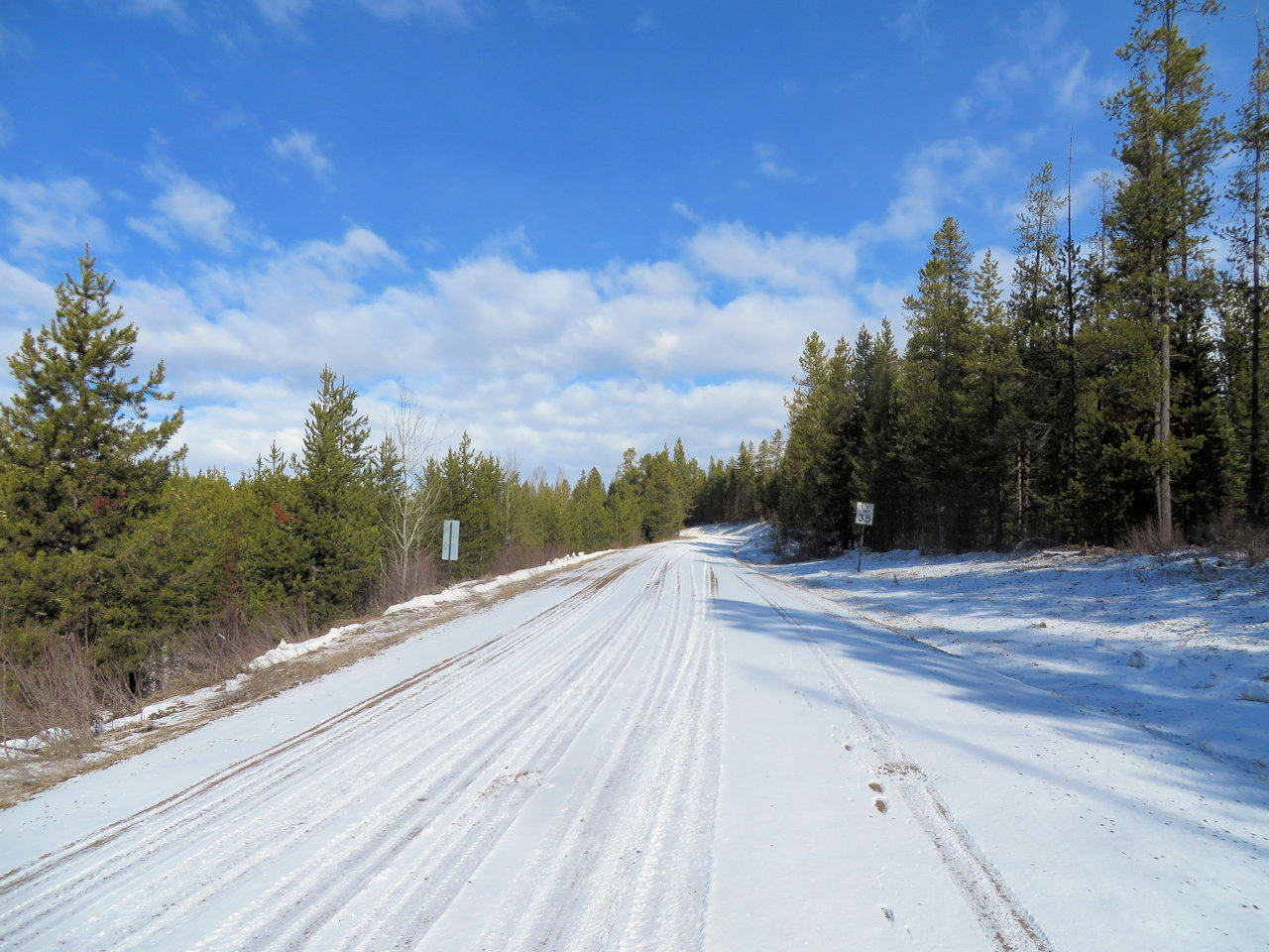
It seems we can’t let a month go by without saying something about the road.

Anyway, if you are going to use science to support your position, it’s best to ensure you’re using it properly or you run the risk of annoying an actual scientist. A recent letter to the editor in the Hungry Horse News promoting paving the North Fork Road drew the ire of Jack Potter for editorial misuse of an out-of-context quote. Jack, Glacier Park’s former chief of science and resource management, sent the following response . . .

Dear Editor,

A disturbing trend is the misuse of scientific information through misquoting, taking something out of context, or altering text on the internet and/or in the press.  In his letter to the editor, Ray Brown of a “pave the North Fork Road” group in the annual spring offensive, says to support his contention that road dust is polluting the North Fork, thus paving is necessary:

“In addition, according to the 2007-2008 U.S. Geological Survey of water quality in the North Fork of the Flathead River, co-author E. William Schweiger, Ph.D. ecologist, Rocky Mountain Network, National Park Service, wrote in part that nearly all of the major western tributaries of the North Fork have previously been listed on Montana’s 303d list of impaired streams for cold-water fisheries owing to sediment-loading associated with erosion of unpaved roads.”

Ray goes on to say:

“This last finding in interesting in that our own Glacier National Park superintendent, who should have had access to the survey, either never got the memo or disregarded it out of hand. Perhaps the best way for the Park to address an issue like water and air quality along their western boundary is to pretend there is no problem to begin with.”

In fact taken in context Dr. Schweiger and his coauthors say:

“Clear-cut timber harvesting activity was relatively widespread in the western tributaries of the North Fork Basin in Montana from 1960 to 2000 (Gildea and others, 2004). Currently (2011), nonintensive timber harvesting occurs throughout the Flathead National Forest on the western side of the North Fork Basin (Paul Donnellon, Operations – Timber Management Flathead National Forest, written commun., 2011). Additionally, population growth and related construction activities on private land in the western portion of the basin are of concern. Construction of access roads associated with residential development, and subsequent erosion of road material, can be a substantial source of suspended sediment to streams (Ahtiainen and Huttunen, 1999; Gildea and others, 2004). Waste material from forest harvesting and sewage effluent from residential developments can cause an increase in the concentrations of nutrients in receiving streams, resulting in a reduction in biodiversity and loss of species habitat (Harr and Fredriksen, 1988; Zampella, 1994; Carpenter and others, 1998; Hauer and others, 2007). Suspended sediment in spawning areas can cause a reduction in fish embryo survivorship (Confederated Salish and Kootenai Tribes and Montana Fish, Wildlife and Parks, 2004).

Nearly all of the major western tributaries of the North Fork have been previously listed on Montana’s 303(d) list as impaired for cold-water fisheries owing to sediment loading associated with erosion of unpaved roads. Adoption of “Best Management Practices” for timber harvesting and forestry roads in the North Fork Basin, as well as reclamation of clear-cut areas, has greatly reduced the associated effects on water quality (Hauer and others, 2007). As a result, many of the western tributaries have been removed from Montana’s 303(d) list (Gildea and others, 2004). Existing and potential future residential development in the North Fork valley also is of concern. The western portion of the North Fork Basin in Montana has become increasingly popular as a vacation destination, and construction of vacation homes on private land in the North Fork valley has increased by about tenfold over the past 20 years (Hauer and others, 2007). These developments could affect the water quality and aquatic biology of the North Fork.”

The study doesn’t even come close to supporting Ray’s position, nor his fatuous statement about the park Superintendent.

If you  are interested in increasing your property values, maybe developing some of those hundreds of lots, or if you are a transplanted suburbanite living in Polebridge and want a smoother, faster commute, or you have a construction company in the North Fork as Ray Brown does, it would be better to be honest about paving.  Slow down, drive less.  With the uncertainty regarding the federal (dominion) coal blocks in the North Fork that were left out of the BC/Montana energy development moratorium, paving and subsequent development would be a great message to Canada, in addition to a long-term, irreversible, negative impact.  The National Park Service is correct in opposing paving.

Full citation of the above article:

From p. 2; Mills, T.J., Schweiger, E.W., Mast, M.A., Clow, D.W., 2012, Hydrologic, water-quality, and biological characteristics of the North Fork Flathead River, Montana, water years 2007–2008: U.S. Geological Survey Scientific Investigations Report 2011–5221, 67 p.

Jack Potter
Columbia Falls, MT

Note: Jack Potter’s letter appeared on the Hungry Horse News web site almost immediately.

Flathead County going after road money for Blacktail and North Fork roads

While the North Fork Road rests under its winter pavement, Flathead County is making plans for improvements  .  .  .

Flathead County plans to vie for money from a restructured federal highway program to make improvements to Blacktail and North Fork roads.

The Moving Ahead for Progress in the 21st Century Act — MAP-21 — that was signed into law in July will fund surface transportation programs at more than $105 billion for fiscal years 2013 and 2014. Montana’s slice of the federal pie will be $50 million over the two years.

Blacktail Road in Lakeside, the road leading to Blacktail Mountain Ski Area, is a prime contender…

A second proposed project is conducting an engineering analysis and making improvements to the stretch of the North Fork Road north of Polebridge in the Wurtz Slump area…

Continue reading . . .