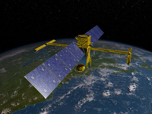
The North Fork of the Flathead River gets a passing mention in this mildly technical article from Earth and Space Science News discussing a technique to track river flows from space . . .
For hydrologists, everything begins with water. This essential resource drastically alters the land surface and powers the basic cellular respiration underlying all living things.
When water falls on land and begins its slow passage to the ocean, its path almost invariably includes rivers, the most visible veins through which our planet’s lifeblood courses. To best study freshwater systems, we need a fairly precise idea of how much water flows in Earth’s rivers. You might think that we have this precise idea, right? Wrong.
Given the importance of water—especially river water—in ecosystems, industry, and agriculture, this lack of knowledge must be addressed. This issue is far more than academic: Well-documented issues of water data secrecy, toxic water politics, and even water conflict highlight the urgent need to better understand and monitor freshwater fluvial fluxes.