Here’s an excellent article by Maggie Dresser for Flathead Living about the intertwined history of the Three Forks of the Flathead River and the creation of the Wild and Scenic Rivers Act . . .
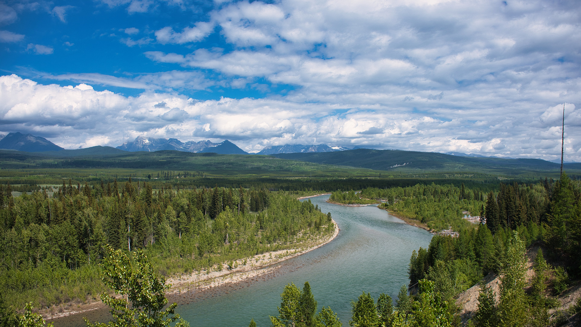
On Oct. 23, 1956, a crew of geologists and specialized equipment operators traveled five miles south of U.S. Highway 2 from the Bear Creek confluence along the upper Middle Fork Flathead River where they drilled four test holes roughly 150 feet into the sedimentary argillite. Situated just above a two-mile series of whitewater rapids known as Spruce Park, in what is now the Great Bear Wilderness, Bureau of Reclamation geologist Rondo Birch described the Precambrian bedrock as “excellent,” according to newspaper archives.
For six weeks, a team of geologists and engineers with the Bureau of Reclamation conducted field studies on the feasibility of a diversion project for the proposed Spruce Park dam, a 405-foot-tall earth-filled structure that would back 360,000 acre-feet of water with a 2,760-acre reservoir, the size of Wild Horse Island on Flathead Lake. A 38,000-foot-long transmountain pressure tunnel would be excavated to divert flood waters to Hungry Horse Reservoir, where a 21,000-kilowatt powerplant would be constructed on the South Fork Flathead River near Hoke Creek. The additional water would add a surplus of hydropower to the Hungry Horse dam, an infrastructure project that had been completed three years earlier.
The Spruce Park dam proposal was officially introduced in June of 1957 and would take center stage at public meetings on-and-off for the next two decades. Proponents of the dam saw economic prosperity associated with the project, bringing in “construction payrolls” for residents of Columbia Falls, Hungry Horse and Martin City.