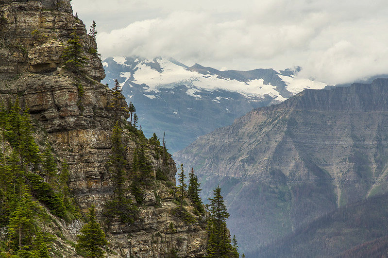
OK. this is pretty impressive. Below is the lead-in to an excellent story by the Missoulian’s inimitable Rob Chaney about a mapping study just completed by Brad Blickhan and Jillian McKenna concerning the wilderness character of Glacier National Park. If you can’t get past the newspaper’s paywall, just jump straight to the study’s immersive web page. You won’t regret it . . .
Two things about Glacier National Park might seem obvious but aren’t. First, for all its million wild acres of peaks and lakes, Glacier is not legally wilderness. And second, for all the satellites, traffic counters, lidar scanners and other gizmos monitoring activity in the park, we don’t have a good measuring stick showing how its wild qualities have changed over time…
Which brings us to that measuring stick and Brad Blickhan, Glacier’s wilderness and wild and scenic river corridor manager. Blickhan and colleague Jillian McKenna spent much of last year developing a “wilderness character” analysis of the park…
