Tag Archives: National Weather Service

One-stop flood information for Northern Rockies

Whale Creek near flood stage, May 16, 2018 - by William K. Walker
Whale Creek near flood stage, May 16, 2018 – by William K. Walker

This is handy. So handy, in fact, that we’ve added it to the site’s “Flood Information” page.

The National Weather Service office in Missoula constructed a sort of one-stop information page for all Northern Rockies flood-related information. Here’s the official write-up . . .

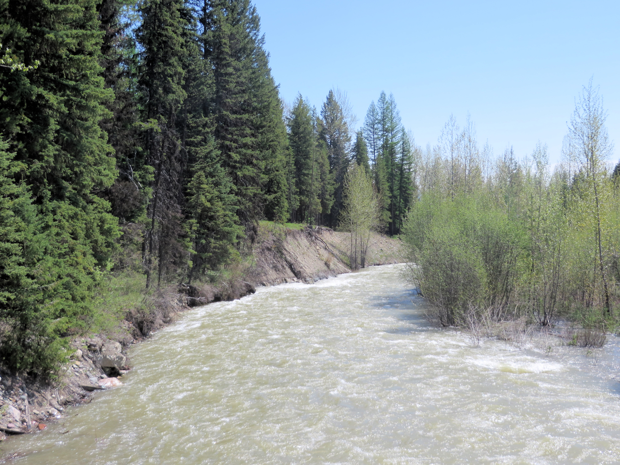
This past winter the Northern Rockies experienced significant snowfall with many mountain observations hitting record values. This snow has been steadily melting this past May and will continue into June producing flooding conditions throughout the Northern Rockies. This web page was developed to pull all hydrology products into one location. Click on the tabs… to observe the river and stream gauges within each county that is serviced by the National Weather Service in Missoula, Montana.

Recommended! Check it out.

Marker erected to commemorate Flathead’s 1964 flood

Forty-eight years ago, the Flathead experienced a massive flood when something like a foot of rain fell over the Continental Divide. Last Thursday, the National Weather Service and the U.S. Geological Survey commemorated the event with a flood level marker at the foot of South Nucleus Avenue in Columbia Falls . . .

On Thursday afternoon, the Flathead River through Columbia Falls didn’t look that dangerous. Sure, it was a little high and a little muddy – normal for this time of year. But 48 years ago this month, there was no such thing as “normal.”

On June 7 and 8, 1964, 10 to 14 inches of rain fell over the Continental Divide. That rain, combined with melting snow, resulted in the largest flood to hit the Flathead Valley in nearly a century. On June 9, the Flathead River through Columbia Falls hit 25.58 feet; normal flood conditions are between 12 and 14 feet. That flood was commemorated on Thursday, when the National Weather Service and the United States Geological Survey erected a sign to note the high-water mark of that event at the end of South Nucleus Avenue in Columbia Falls.

Continue reading . . .