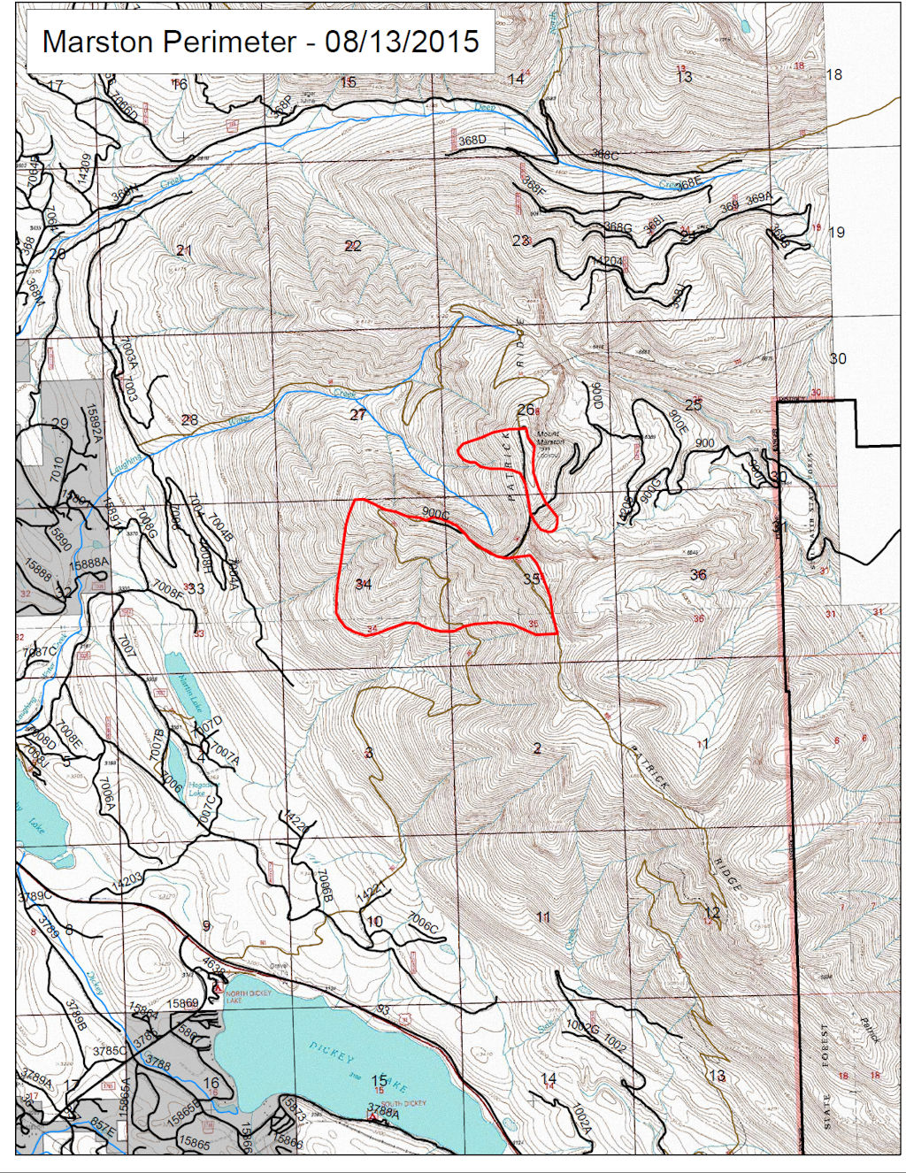
UPDATED to include newer information, including several corrections from Jon Cohan, who can see the Marston Fire from his back deck. Here’s what he has to say: “The Mt. Marston fire started overnight on Mon. during a lightning storm and was spotted early on Tues. morning by a local USFS crew who were in action as early as 8:00 am. The fire initially started on the southwest slope facing Rte. 93 and grew as it traveled uphill during the day. It has grown considerable larger since then, overtaking the peak and spreading to nearby terrain via ember deposits.”
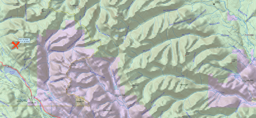
The smoke plume from the Marston Fire is visible from the North Fork. It is burning on Mt. Marston in the Kootenai National Forest, a little over 4 air miles east of Fortine and about 21 miles west of Polebridge.
According to the InciWeb page, fire crew access is limited due to steep terrain. The Mt. Marston Lookout is threatened by the blaze and has been bundled up in fire retardant wrap. The most recent report puts the fire’s size at 550 acres.