One of the North Fork Preservation Association’s founding goals was fighting resource extraction upstream in the Canadian Flathead Valley. This article provides a vivid illustration of what could have happened in the transboundary Flathead and what did happen in the Elk/Kootenai watershed just to our west . . .
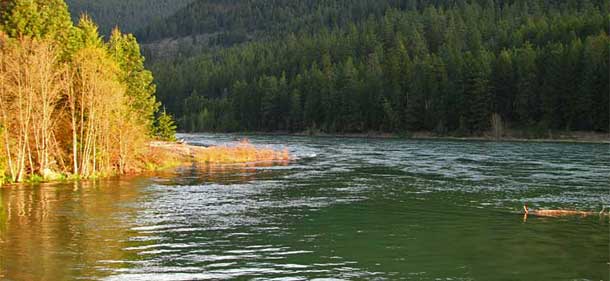
On a recent late-August morning, buzzing above the peak-studded North Fork Flathead River Valley in a single-engine Cessna, the familiar summits of Glacier National Park dominated the view to the east, revealing a sky-high harbor of sapphire-green amphitheaters filigreed with waterfalls and bejeweled with cerulean lakes, representing a sliver of the one-million-acre ecosystem permanently protected from the intrusions of industry.
On board the six-seater plane were Erin Sexton, a senior research scientist with the University of Montana’s Flathead Lake Biological Station, and Richard Janssen, head of the Confederated Salish and Kootenai Tribes’ (CSKT) Natural Resource Department, as well as a trio of journalists and pilot Bruce Gordon, founder of the nonprofit EcoFlight, which for more than three decades has worked to illuminate critical environmental issues on western landscapes.
Cruising amid calm, clear skies, Gordon’s flight plan called for an aerial tour of the North Fork Flathead River Valley girding Glacier Park and spanning the U.S.-Canada border, where mining and energy development has been banned for years, before crossing over into the Elk and Kootenai (spelled Kootenay in Canada) River Basin south of Fernie, British Columbia (B.C.), below which a chain of open-pit coal mines is responsible for leaching harmful pollutants into Montana.
[Update: September 30] See also this photo-heavy article from the National Wildlife Federation about the same flight: An Eye in the Sky: Transboundary Mining.