Category Archives: Fire Information and Status

Fires churning away

Another report — with photos — from the Daily Inter Lake on the area’s fires . . .

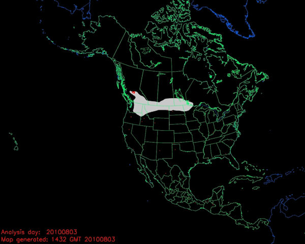
Wildfires in the Bob Marshall Wilderness have spread rapidly over the last couple of days, and an aerial burnout operation is planned today on a fire burning just outside the wilderness southeast of Swan Lake.

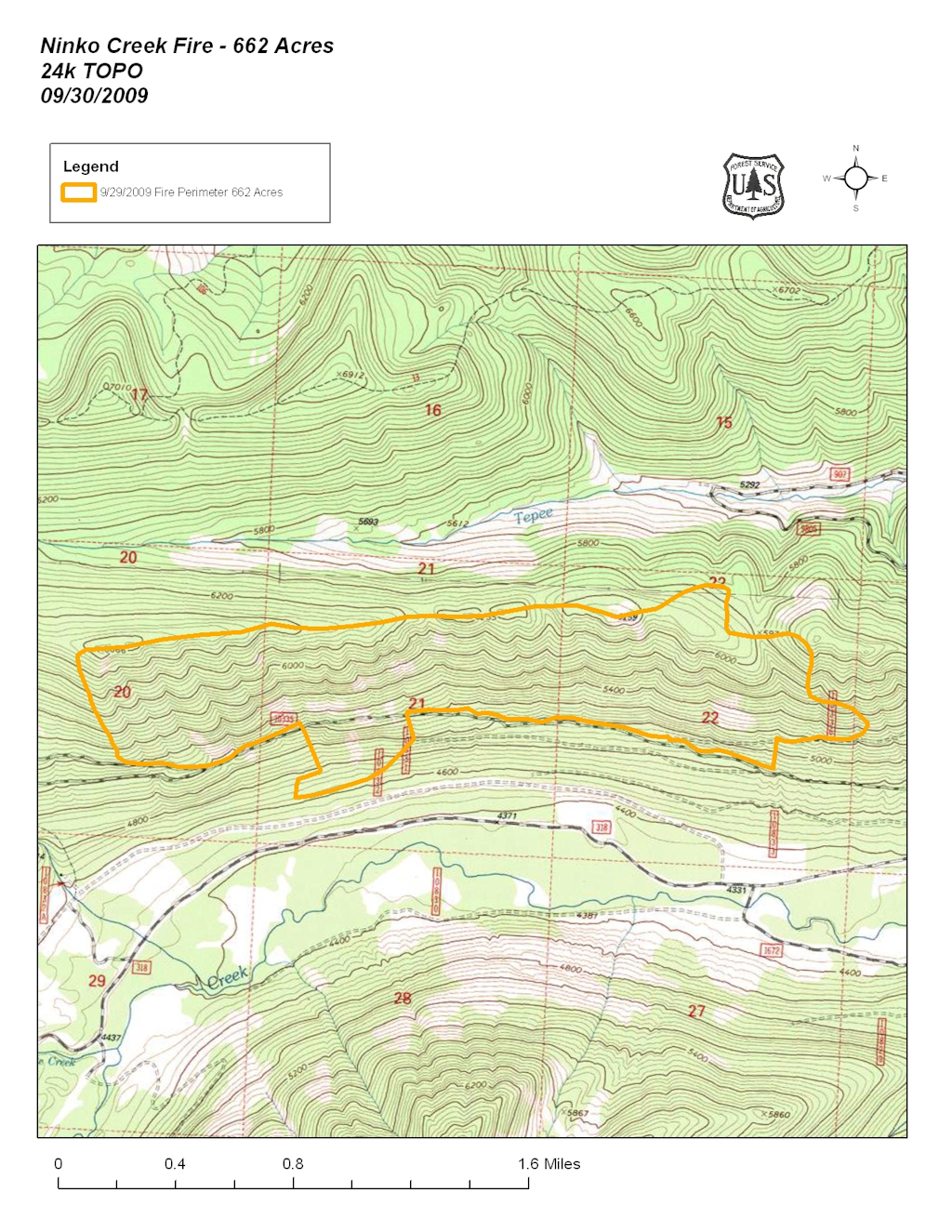
In just one day after it was detected, the Big Salmon Lake Fire went on a wind- and fuel-driven rampage Wednesday, growing to 2,000 acres. The fire started near the north shore of Big Salmon Lake, burning upslope to the northeast in heavy timber.

It has a high potential for growth toward the South Fork Flathead River, prompting multiple trail closures and efforts to protect the Salmon Forks Cabin, the Salmon Forks suspension bridge and the Little Salmon Bridge.

Continue reading . . .

“If there’s a message, it’s dry enough for things to burn.”

Today’s Daily Inter Lake has a pretty good report on the wildfire action in the Flathead Valley . . .

Flathead Valley residents got to take in a familiar summer spectacle Wednesday: Smoke columns towering over the Swan Mountain Range.

The smoke was pouring from two fires burning in the Bob Marshall Wilderness.

It was the first time big smoke columns have been visible from the valley floor since summer 2007…

Continue reading . . .

Life from the ashes

This week’s Hungry Horse News has an interesting write-up on forest recovery after a wildfire . . .

On a hard hot day in August, Scott Lang, Alison Lay and Mike McClellan are standing in a young forest in Glacier National Park, taking note of the trees.

The forest doesn’t look like much. The trees are short and sort of scruffy, most are no taller than five or six feet…

Read the full article . . .

British Columbia wildfires put haze over western Montana

From today’s Missoulian (we *ahem* covered this four days ago) . . .

The smoke we’re seeing in western Montana is coming from wildfires in British Columbia

Bridget DeRosa of the National Weather Service in Missoula said that while it was hazy in the Missoula and Bitterroot valleys, visibility was still more than 10 miles on Saturday. But it was reduced to 6 miles in the Flathead Valley around Kalispell.

Read the full story . . .

Smoke in the North Fork may be from Canada

Starting yesterday, several folks in the North Fork reported smelling smoke. That smoke may be coming from Canada. NOAA’s early morning “Hazard Mapping System Fire and Smoke Product” map (see below) showed an extensive smoke plume drifting to the south and east from a large wildfire complex in southern British Columbia. At latest report, BC has some 318 wildfires, the bulk of them in the southern half of the province.

Smoke plume from BC, 03Aug10

For more information on wildfires in Canada, keep an eye on the Canadian Wildland Fire Information System page.

A decade of big fires

The Daily Inter Lake has traditionally made a real effort to stay on top of fire season news. Today, they posted a retrospective of the biggest fire seasons of the last decade, all of which, especially the 2001 and 2003 blow-ups, had a big impact on the North Fork.

Here are the links . . .

‘Mega-fires’ change landscape

2001: The year Moose Fire roared for 71,000 acres

2003 a monster year for fires

2007 fires scorched more than 400,000 acres

Ninko Creek Fire update — sort of

The Ninko Creek Fire didn’t generate much in the way of news Tuesday. Apparently, it is still at about 500 acres and, with cooler, moister weather moving in, isn’t likely to do anything exciting very soon.

The Flathead National Forest posted a couple of aerial photos to the Inciweb log.

Also, here is the latest (September 29th) GeoMAC map showing the extent of the burn:

Ninko Creek Fire Perimeter, 29 September 2009
Ninko Creek Fire Perimeter, 29 September 2009 – click for larger image